
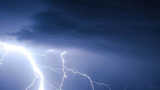
A severe thunderstorm watch has been issued for large parts of the Northeast, with the National Weather Service (NWS) warning that damaging winds, hail and frequent lightning are possible through 11 p.m. EDT on Saturday.
The watch covers portions of Delaware, Maryland, New Jersey, New York and Pennsylvania, affecting more than 21 million people.
The Storm Prediction Center (SPC) said scattered severe thunderstorms are expected to develop during the afternoon and evening. The strongest storms could produce wind gusts of up to 75 mph.
Also read: Tornado damage in Lansing, MI? Ingham County under warning amid severe weather
Areas under the severe thunderstorm watch
According to the NWS, the watch extends across parts of five states, including major metropolitan areas and surrounding counties. Cities within or near the watch area include New York City, Philadelphia, Allentown, Scranton, Harrisburg, Binghamton, Poughkeepsie, Atlantic City, Salisbury, Rochester and Syracuse.
Severe storms are most likely to occur in the Philadelphia metro area and south.
Storm clusters will continue to travel across areas of the Allegheny Plateau and into the Mid-Atlantic, posing a risk of multiple damaging winds. Additional severe thunderstorms are likely throughout the Great Plains this afternoon and evening, offering a risk of high wind gusts and large hail.
Forecasters noted that damaging straight-line winds remain the primary concern. Such winds can topple trees, damage roofs and power lines, and lead to scattered power outages.
Frequent lightning may also pose risks to anyone attending outdoor events or fireworks displays. Officials urged residents to monitor weather alerts and seek sturdy shelter if storms approach.
Also read: Extreme heat wave disrupts July 4 and America 250 events on East Coast
Fourth of July flash flood threat
Besides severe winds, forecasters warned that slow-moving thunderstorms may produce heavy rainfall capable of causing localized flash flooding. According to the NWS, thunderstorms may dump 1 to 2 inches of rain per hour, especially across urban and poor-drainage areas.
The greatest concern is expected through 2 am Sunday, when repeated rounds of thunderstorms could overwhelm storm drains and flood roadways. Officials advised drivers never to cross flooded roads because water depth can be difficult to judge at night.
Outdoor Fourth of July celebrations, fireworks displays and sporting events may face interruptions if thunderstorms move through affected communities. Emergency managers urged residents to move indoors immediately after hearing thunder.
The Extreme Heat Warning stops tonight at 8 pm, but hazardous heat continues on Sunday, with heat index values reaching 95°-100° in certain areas.